Objectives
- Prepare a detailed topographic map of the assigned area with precise horizontal and vertical control.
- Design, survey and set out a new road alignment, including horizontal curves and vertical profiles.
- Survey a bridge site with triangulation and river cross-sections to choose the best bridge axis.
- Become fluent with total stations and auto levels in real field conditions.
Fieldwork
In orderMajor and minor traversing
A control framework of 22 major and 4 minor traverse stations, with angles and distances measured to a precision of 1:5000.
Road alignment survey
Designed and set out a 578 m road: horizontal curves calculated and pegged, with longitudinal profiling and cross-sections every 15 m for earthwork volumes.
Bridge site survey
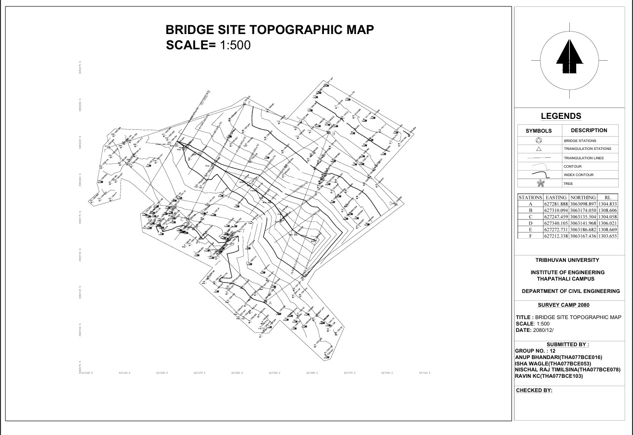
Triangulation to fix the axis of a proposed 80 m-span bridge, with an L-section of the riverbed 150 m upstream and 50 m downstream, and valley cross-sections.
Drawings
Field data processed in AutoCAD into the final topographic map, road plan and bridge site drawings.
Maps & plans
Outputs
Instruments
Used in the fieldTotal station
Horizontal and vertical angles and distances.
Auto level
Fly levelling, profile and cross-section levelling.
Theodolite
Angles for triangulation and setting out curves.
AutoCAD
Processing field data and preparing the final drawings.